
Click here for information on upcoming events & fundraisers!
In 2023, the first phase of the Railroad Highway Multiuse Trail was completed from Smith Wildlife Area northeast of Council Bluffs to Weston. This trail is planned to extend south into Council Bluffs as well as north to Underwood and Neola within the next few years.
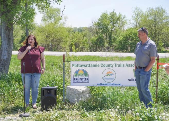
Photo by Melissa Peterson

Photo by Melissa Peterson
Planning for the Pottawattamie County trails began in 2012. With help from the National Park Service’s Rivers, Trails, and Conservation Assistance (RTCA) program, several public meetings were held throughout Pottawattamie County to determine preferred routes of multi-use (hard- and soft-surface) trails. Based on these meetings, the top priorities were trails from northeast Council Bluffs along Railroad Highway to Underwood and Neola, as well as from Council Bluffs to Crescent and Hitchcock Nature Center. Several grants have been secured and we are still fundraising. Once these trails are established, we anticipate expanding trails to every community and to every county park within Pottawattamie County. For more up-to-date information, please like us on Facebook.
We are a part of Frontier Iowa Trails (FIT), which is a regional network of multi-use trails advocates. Shelby and Mills counties have also completed countywide trail plans, and other counties are considering doing the same. By working across county lines, we can ensure better connectivity. FIT also works with existing trails groups like the Wabash Trace Nature Trail and Nishna Valley (T-Bone) trails. We hope to see a well-connected trail network spanning Western Iowa, and connecting with trails in other parts of Iowa as well as into Nebraska and other nearby states.
![]()
FAQ – Through an open house forum and personal communications with landowners and members of the public, we had several questions and concerns about the trail plan. Click here to download a pdf with answers to some Frequently Asked Questions. If you have other questions or concerns, please contact pottcountytrails@gmail.com.
Learn about and contact our board members here.
Current Projects
The first trail constructed is along Railroad Highway on the northeast edge of Council Bluffs towards Weston, then Underwood, then Neola. Construction has been completed from Smith Wildlife Area north to Weston as of early 2024. Our next phases are building to Underwood, as well as south from Smith Wildlife Area, working with the City of Council Bluffs to connect with the metro trail system at Kanesville Blvd.
Future Projects

Map of hard-surface trails based on meetings held across the county in 2012. Red lines are top priority, followed by orange, green, and blue. Click on the image to open a larger .pdf map in a new page.
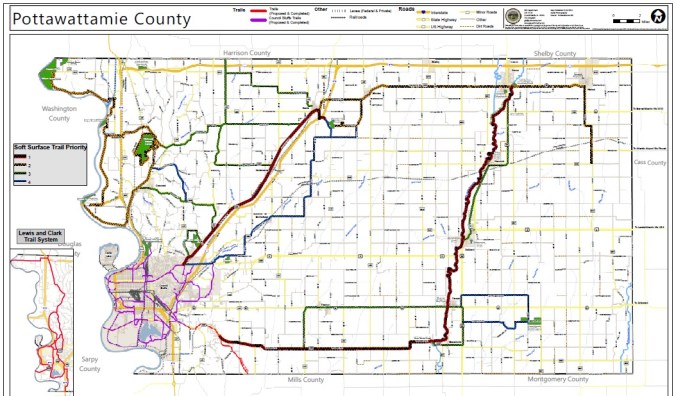
Map of soft-surface trails based on meetings held across the county in 2012. Red lines are top priority, followed by orange, green, and blue. Click on the image to open a larger .pdf map in a new page.
